Data

Satellite data for the global atmosphere
The Earth’s climate is changing because of man-made greenhouse gas emissions. Carbon dioxide and methane are the two main contributors to this enhanced greenhouse effect. Where are those gases emitted? Where do they go from there? How will these processes of emission and absorption be influenced in a changing climate? What is the role of various types of aerosols? Here you find maps with satellite data and software packages to help answer these questions.
Interactive TROPOMI carbon monoxide / methane map
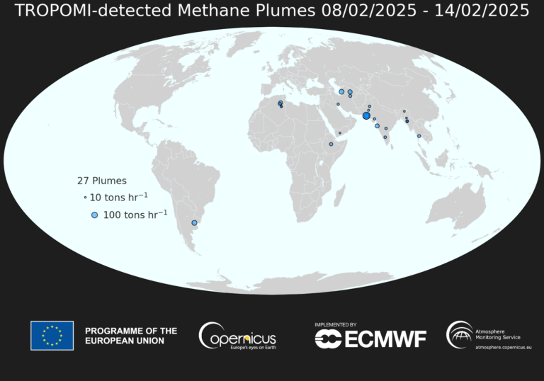
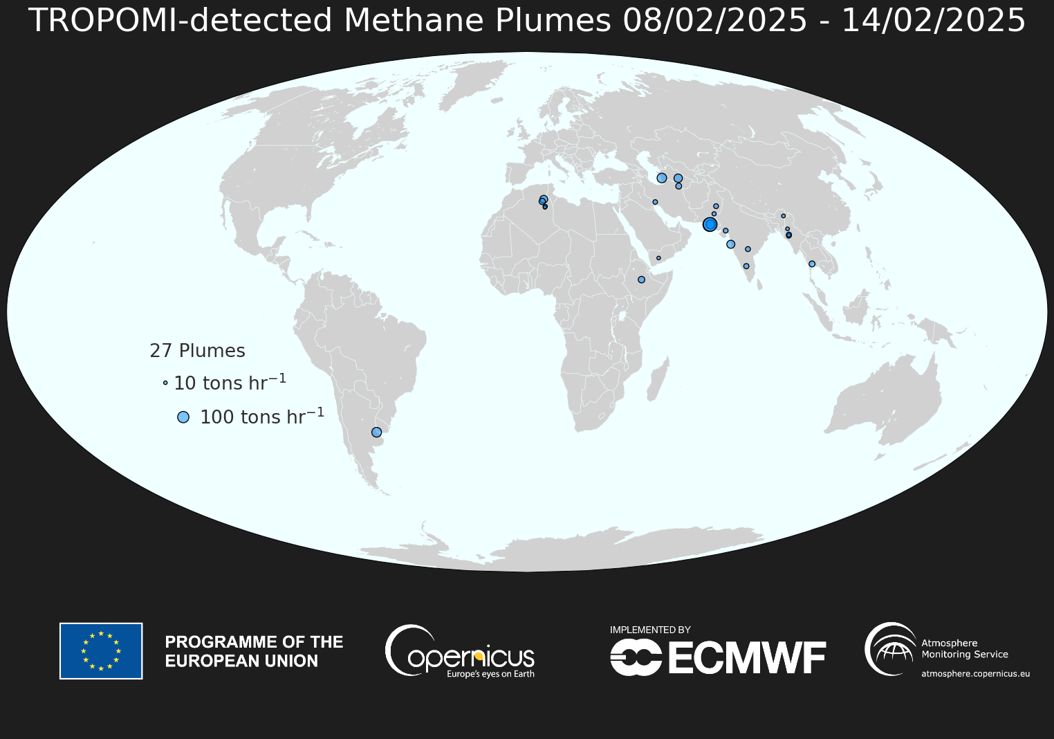
Methane Plume Map
TropomiWe use the Dutch space instrument TROPOMI onboard Sentinel-5P to automatically detect large methane emission plumes across the globe. The machine-learning technology for this is described in Schuit et al. (2023). The world maps show approximate source locations based on single TROPOMI plumes and initial source rate estimates calculated using an automated mass balance method.

Interactive Fire Data Map
Fire DataInstrument monitoring
Earth instrumentsSRON is continuously monitoring its space instruments to ensure their health and the delivery of solid data.
How we use instruments in our research
SRON has about 200 employees. They form a melting pot of top (instrument) scientists, engineers, and other professionals of various nationalities and ages who inspire each other to realize outstanding performances at a top level. Problems faced by scientists challenge sensor developers to construct increasingly more sensitive technology. Together with mechanical and electronic engineers they ultimately develop a scientific space instrument with an exceptional level of performance under the extreme conditions of space. The scientific breakthroughs made with such devices in turn inspire new research and new technology. This approach has enabled SRON to develop into a national expertise institute of international repute.

Aaldert van Amerongen
Head of the SRON Earth Observation Program

