Aerosols: small particles in the atmosphere
SRON’s role in aerosol research
Aerosols are small dust particles in the air, such as soot, ash and desert dust. They have a major influence on air pollution and climate change, but their precise role is insufficiently known. That is why scenarios for global warming up to the year 2100 vary approximately 3 degrees Celsius. Most aerosols have a cooling effect by reflecting and absorbing sunlight (aerosol-radiation interactions) and by changing the properties of clouds (aerosol-cloud interactions). But one type of aerosol–soot–contributes to global warming by boosting the warming effects of greenhouse gases. At SRON we work on space instrumentation, retrieval algorithms and data exploitation to better understand and quantify the effects of aerosols on climate and air quality.
-
projects
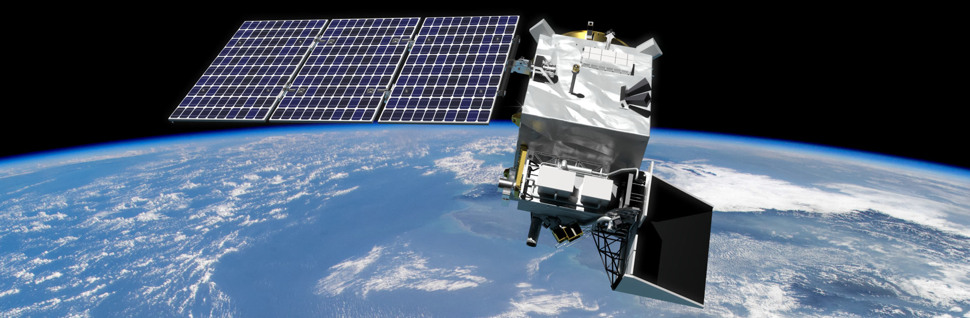
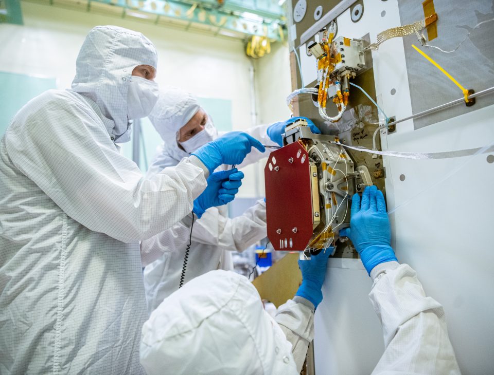
SPEXone for PACE
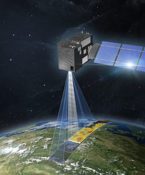
SPEXone is a compact five-angle spectropolarimeter instrument developed as a contributed payload for the NASA Plankton, Aerosol, Cloud and ocean Ecosystem (PACE) observatory. Launch is scheduled for early 2024. SPEXone will enable detailed characterization of aerosols, such as their absorption power, composition, size and height. It uses spectral modulation to provide measurements of radiance and state of polarization in a continuous wavelength spectrum, leading to a high polarimetric accuracy.
-
projects
SPEXone-SG
SPEXone is a small multi-angle spectropolarimeter for the quantification of atmospheric aerosol. It provides a light-path correction for CO₂ quantification. It is a candidate instrument for the two ESA’s CO2M satellites to be launched in 2026.

-
projects
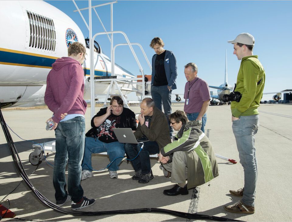
SPEX Airborne
SPEX airborne is a prototype of SPEXone, a spectropolarimeter that is part of the payload for NASA’s PACE mission and a candidate to be part of ESA’s CO2M mission. SPEX airborne has flown onboard high altitude research aircrafts. In the near future SPEX airborne will be deployed in the validation campaign for PACE.
-
projects
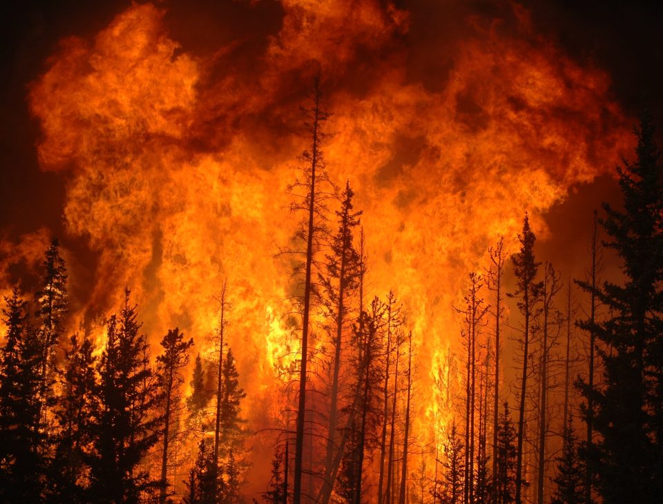
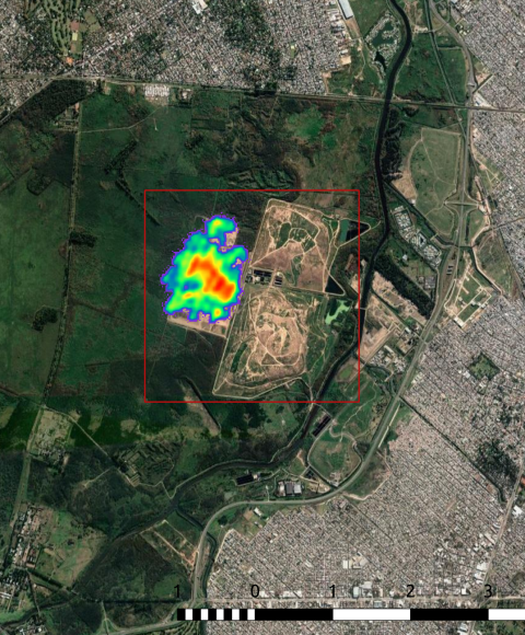
ESA Living Planet Fellowship on Fires
Landscape fires, whether natural or human-made, release pollutants, greenhouse gases and aerosols, affecting not only climate but also human health.


Recent aerosol news
News
12 april 2024
PACE climate satellite releases first images
22 februari 2024
News
Two NWO-GO grants for aerosol research with PACE satellite
8 februari 2024
News
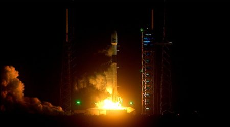
NASA launches climate satellite with Dutch aerosol instrument
Aerosols & Clouds Publications
1 oktober 2024
Aerosols and Clouds
Sensitivity of cloud microphysics to aerosol is highly associated with cloud water content: Implications for indirect radiative forcing
The sensitivity of cloud microphysics to aerosol loading, quantified by the aerosol-cloud interactions (ACI) index, plays a crucial role in calculating the radiative forcing due to ACI (RFaci). However, the dependence of the ACI index on liquid water content (LWC) and its impact on RFaci are often overlooked. This study aims to investigate this dependence and evaluate its implications for RFaci, based on ground in-situ aerosol-cloud observations on Mt. Lu in eastern China. The results demonstrate that the ACI index exhibits an initial increase, followed by a decline with increasing LWC. In the unconstrained LWC scenario, the ACI index, calculated based on cloud droplet number concentration (ACIn of 0.13), is found to be lower than the lower bound of ACIn (0.17 to 0.35) obtained from the constrained LWC scenario. Neglecting this LWC-dependence leads to a significant underestimation of the mean RFaci by 53%. Furthermore, when calculating RFaci using the ACI index from droplet effective diameter (ACId), implying the neglect of the dispersion effect by assuming a fixed droplet spectrum width, it results in an overestimation of RFaci by 22% compared to using ACIn. These findings shed new light on the assessment of RFaci and help reconcile differences between observed and simulated RFaci. Aerosol-cloud interactions are the major source of uncertainty in understanding human-induced climate change. This study focused on the relationship between aerosol and clouds, specifically investigating how the sensitivity of cloud properties to aerosol loading associates with the amount of liquid water present in the clouds. Using ground in-situ observations of clouds and aerosols on Mt. Lu in eastern China, this study showed that the sensitivity of cloud properties to aerosol loading initially increases and then decreases as the cloud water content increases. Neglecting this dependence can lead to a significant underestimation of the impact of aerosol-cloud interactions on climate. These findings provide valuable insights for improving our understanding of how aerosols and clouds interact and contribute to climate change.
1 augustus 2024
Aerosols and Clouds
Exploring Aerosol-Cloud Interactions In Liquid-Phase Clouds Over Eastern China And Its Adjacent Ocean Using The Wrf-Chem-Sbm Model
In this study we explore aerosol-cloud interactions in liquid-phase clouds over eastern China (EC) and its adjacent ocean (ECO) using the WRF-Chem-SBM model with four-dimensional assimilation. The results show that our simulations and analyses based on each vertical layer provide a more detailed representation of the aerosol-cloud relationship compared to the column-based analyses which have been widely conducted previously. For aerosol activation, cloud droplet number concentration (Nd) generally increases with aerosol number concentration (Naero) at low Naero and decreases with Naero at high Naero. The main difference between EC and ECO is that Nd increases faster in ECO than EC at low Naero due to abundant water vapor, whereas at high Naero, when aerosol activation in ECO is suppressed, Nd in EC shows significant fluctuation due to strong surface effects (longwave radiation cooling and terrain uplift) and intense updrafts. Cloud liquid water content (CLWC) increases with Nd, but the increase rate gradually slows down for precipitating clouds, while CLWC increases and then decreases in non-precipitating clouds. Higher Nd and CLWC can be found in EC than in ECO, and the transition-point Nd value at which CLWC in non-precipitating clouds changes from increasing to decreasing is also higher in EC. Aerosol activation is strongest at moderate Naero, but CLWC increases relatively fast at low Naero. ECO cloud processes are more limited by cooling and humidification, whereas strong and diverse surface and atmospheric processes in EC allow intense cloud processes to occur under significant warming or drying conditions.
1 juni 2024
Aerosols and Clouds
Assessing Methane Emissions From Collapsing Venezuelan Oil Production Using Tropomi
Venezuela has long been identified as an area with large methane emissions and intensive oil exploitation, especially in the Lake Maracaibo region, but production has strongly decreased in recent years. The area is notoriously difficult to observe from space due to its complex topography and persistent cloud cover. We use the unprecedented coverage of the TROPOspheric Monitoring Instrument (TROPOMI) methane observations in analytical inversions with the Integrated Methane Inversion (IMI) framework at the national scale and at the local scale with the Weather Research and Forecasting model with chemistry (WRF-Chem). In the IMI analysis, we find Venezuelan emissions of 7.5 (5.7-9.3) Tg a-1 in 2019, where about half of emissions can be informed by TROPOMI observations, and emissions from oil exploitation are a factor of ∼ 1.6 higher than in bottom-up inventories. Using WRF, we find emissions of 1.2 (1.0-1.5) Tg a-1 from the Lake Maracaibo area in 2019, close to bottom-up estimates. Our WRF estimate is ∼ 40 % lower than the result over the same region from the IMI due to differences in the meteorology used by the two models. We find only a small, non-significant trend in emissions between 2018 and 2020 around the lake, implying the area’s methane emission intensity expressed against oil and gas production has doubled over the time period, to ∼ 20 %. This value is much higher than what has previously been found for other oil and gas production regions and indicates that there could be large emissions from abandoned infrastructure.
Meet our partners
We collaborate with climate researchers and modelers, and together contribute to the development of physical instruments and the promotion of scientific activities outside SRON.
-

ESA
-

ISISspace
-

KNMI
-

TNO
-

VU
-

WUR
Our other research themes
-
Methane
-
Responsible for ¼ of human-made greenhouse effect
-
About 30 times more powerful than CO₂ (GWP-100)
-
Large emissions from fossil fuel industry, landfills, livestock
-
-
CO₂
-
Most important human-made greenhouse gas
-
Hard to monitor emissions because of long lifetime
-
-

Carbon Monoxide
-
Reactions with atmospheric gases contribute to global warming
-
Trace gas to calculate CO₂ emissions from forest fires
- One of the most important air pollutants
-